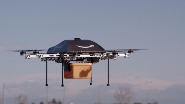
미국 SkyVueAP (Aerial Photography) 업체에서 미국 Inertial Labs사의 RESEPI (LiDAR Payload Instrument, LiDAR + INS 통합 모듈)를 이용해 미국 마이애미 플로리다의 포뮬러 1 트랙에서 촬영을 하였습니다. * RESEPI 관련 내용 참고 : https://blog.naver.com/pinpointsolutions/222694415836 #4. INS+LiDAR 통합 모듈 장치 (RESEPI) - Remote Sensing Payload Instrument 미국 관성센서 전문 업체인 이너셜랩 _ InertialLabs 의 INS+LiDAR 통합 모듈 장치인 RESEP... blog.naver.com CamFlite 사의 Ascent 드론에 RESEPI와 HESAI LiDAR를 장착하였습니다. RESEPI를 통해 드론의 안전한 비행과 경로에 맞게 이착륙을 완수하였습니다. 아래 사진과 유튜브 영상도 있으니 참고바랍니다. RE...
#3DMapping
#포뮬러1
#이너셜랩
#SkyVueAP
#Sensing
#RESEPI
#Remote
#PointCloud
#Payload
#LiDAR
#Instrument
#Inertiallabs
#HESAI
#Camflite
#AScent
#AerialPhotography
#3D맵핑
#플로리다
원문링크 : RESEPI - LiDAR - PointCloud - 3D Mapping
![[RESEPI] Quick Start Guide](https://blogimgs.pstatic.net/nblog/mylog/post/og_default_image_160610.png)
![[이슈] Airbus Zephyr - 42일간의 비행](https://mblogthumb-phinf.pstatic.net/MjAyMjA4MDhfOTEg/MDAxNjU5OTM2MjMxOTgw.Z8zIQ5LprpvK0OHX986_hPP3SMRNkD6JAIXQqc2faMQg.14e8LxmwawMnnAy7NRvAe78tIrlGZqE9lbkBdzoH1ewg.JPEG.pinpointsolutions/Eq5iY9FPci96wppEoSfeGB.jpg?type=w2)
![[이슈] 무인 자율 급유기 - 보잉 MQ25 스팅레이](https://mblogthumb-phinf.pstatic.net/MjAyMjA4MTFfNTAg/MDAxNjYwMTg2OTEzMDE2.89IZck-5QHScJ4daWYcISc0ZBrSmPqz5YVxct0zG9V8g.47B99poTIP1a3UnKj-KrgEOekYq4EFvXJaTOFV29ersg.JPEG.pinpointsolutions/88486_mq25refueling1fa18f_397780.jpg?type=w2)
![[소식] 미국 InertialLabs사, 신규 FOG IMU 출시](https://mblogthumb-phinf.pstatic.net/MjAyMjExMjNfMTQz/MDAxNjY5MTY1Mzg1NjM0.eP5bTj1MlSLgfX8WCu7qGG0t8PFhPw0NntXwe_vA-xYg.90RPhtZkx7wNpE_h_vnB2jdhO4H9CGDYNJxlQzzjbCMg.PNG.pinpointsolutions/42.png?type=w2)


 네이버 블로그
 티스토리
티스토리 커뮤니티
커뮤니티